Hill Walks In Pictues...West Highland Way..Part 1...Milngavie To Drymen
Description
If you would like prints of some of the best scenes from the Hill Walks in Pictures series go to http://www.photoboxgallery.com/hillwalksinpictures
The West highland Way gets the Hillwalks in Pictures treatment, as we catalogue the whole 95 miles of it, from the northern Glasgow suburb of Milngavie to the highland town of Fort William at the foot of Ben Nevis, the tallest peak in Britain.
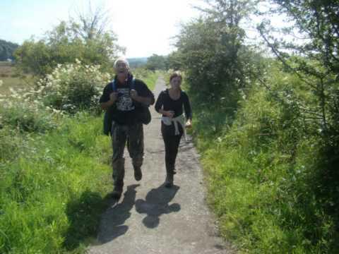
This video covers the first 12 miles, an easy start with no challenging gradients, and on good paths or quiet roads.
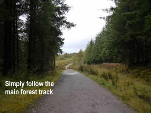
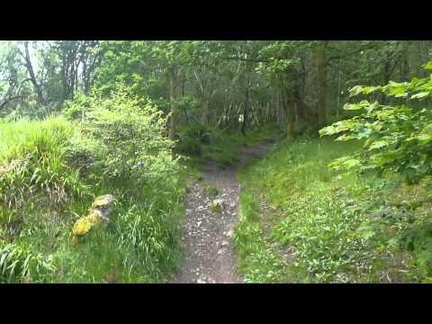
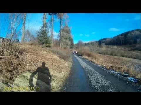
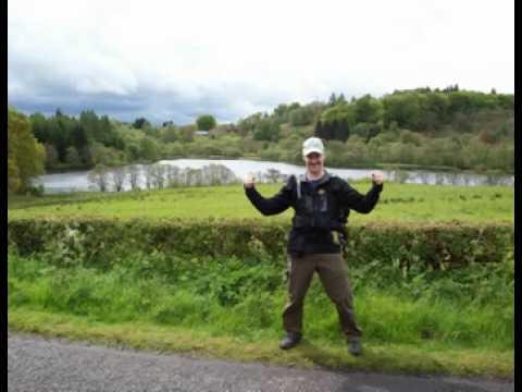
From Milngavie's main street, a mere few hundred yards sees you away from the traffic, walking near Allander Water, already giving the walk a countryside feel. North of Milngavie the route goes through Mugdock Wood, and then to more open country, passing attractive Craigallian Loch, and then the smaller Carbeth loch.Then its on to the flat traverse of the Blane valley following the route of the former Blane Valley railway, accompanied by views of the Campsie Fells, distant Ben Lomond, and the prospect of a wee dram at the Glengoyne Distillary.There follows a section through farmland with what seems like hundreds of gates to cross! The final section uses a quiet country road, passing through the village of Gartness, and getting a little hillier, then crossing a waymarked green hill and field to emerge at the A811 roadside, a short distance from the village of Drymen.
